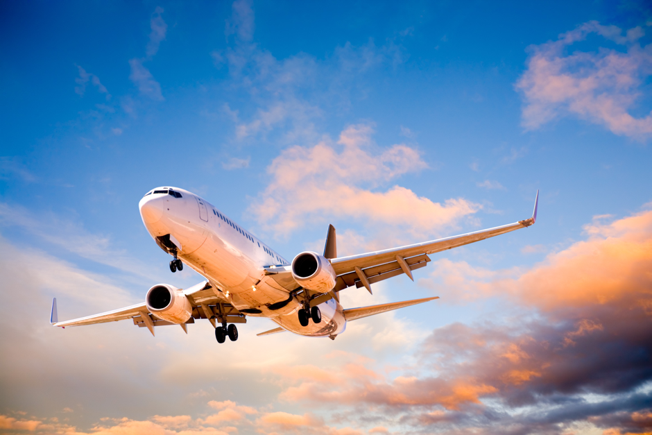
Across the world airspace is structured according to internationally agreed principles. Airspace is divided into 3-dimensional blocks which are classified from class A to class G airspace.
Controlled and uncontrolled airspace
In the UK class G airspace is uncontrolled. This means there are no restrictions on:
- which aircraft can enter it,
- what equipment the aircraft must carry,
- the routes taken by the aircraft.
In the UK all other airspace is controlled and aircraft are directed by air traffic controllers. They decide the safest and most efficient routing for every aircraft (taking into account the surrounding conditions including the weather and other aviation traffic).
The most efficient routing for any aircraft is one that enables it to reach its destination most directly using the least amount of fuel. These decisions are sometime referred to as tactical vectoring of aircraft.

Controlled airspace can be split again into other blocks. For example around groups of airports there are terminal manoeuvring areas and for individual airports radar manoeuvring areas. These are decided on and run by air traffic control organisations through their operational procedures. Within this airspace air traffic controllers tactically vector aircraft to get them into and out of airports in the most efficient way.
An international network of routes links these sectors of airspace. Near to airports these are called Standard Instrument Departure Routes or SIDs and Standard Arrival Routes or STARs. Although aircraft plan to follow these routes they are not motorways in the sky which aircraft precisely follow but a framework.
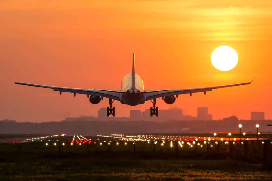
Aircraft taking off from some airports are also required to follow specific flight paths called Noise Preferential Routes (NPR) designed to avoid the overflight of built-up areas where possible (link to page). Once an aircraft reaches the end of the NPR, normally around 4,000 feet, the air traffic controller determines the path that is flown by an aircraft through the airspace structure.
The future of UK airspace
The basic structure of the UK’s airspace was developed over forty years ago and has changed relatively little since. Since then there have been huge changes, including radical technological changes in the design of aircraft and the navigational aids used by pilots and air traffic controllers to direct or route aircraft through the airspace together with a hundred-fold increase in demand for aviation.
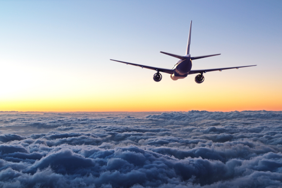
Worldwide, work is underway to harmonise, and modernise the way airspace is used. One of the means by which this will be achieved is referred to as Performance Based Navigation. This is also called area navigation or R-NAV. This means aircraft changing from navigating by traditional ground based beacons to satellite navigation systems.
Overall this work will allow aviation to make better use of the restricted resources of airspace and runway capacity. It will also:
- Reduce aircraft fuel consumption and therefore CO2 emissions as more direct routings of aircraft will be possible and aircraft will be held on the ground for less time; and
- Lower overall noise emissions as aircraft will be able to climb and descend more efficiently near airports (rather than perform a series of stepped climbs or descents) and aircraft will ordinarily no longer need to enter holding patterns or stacks. This objective is known as continuous climb and continuous descent.
To enable this work to happen changes will need to be made to the design and structure of airspace over the UK, Europe and across the world.
Click HERE to head on over to our Website.